 These watersheds play a vital role in supporting fish habitat and cold-water streams. By implementing the best practices listed below, the water quality of the waterways, will become more protected, and will supply healthier water to the Grand River and Lake Michigan, as well.
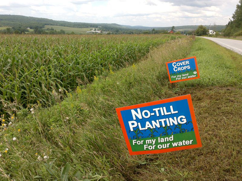
How can grant funds and farm-bill dollars be used to improve water quality in these watersheds? It can be used as cost-share for conservation practices: nutrient management plans, cover crops, filter strips, forest stream buffers, erosion control structures, grassed waterways pollinator habitats, and forest stand improvements.
If you want to find out if your property is eligible, call your local NRCS (National Resources Conservation Services) office today at: (616) 222-5802.
Nash Creek is a subwatershed of the Rogue River and is utilized and maintained by the Kent County Drain Commission. It is one of Michigan’s more than 1,000 Intercounty Drain Systems, its watershed spanning >10,700 acres and extending about 8.3 miles before joining the Rogue River in Sparta, Michigan. Intercounty drains such as this one on Nash Creek play important roles in the development of community infrastructure as they remove excess soil moisture and reduce flooding impacts. Unfortunately, ongoing issues with soil erosion and increased sedimentation have decreased water quality within Nash Creek and in the Rogue River itself, leading to potential impacts on aquatic invertebrates, fish, wildlife, and humans. The Kent County Drain Commission is working hard to restore riparian areas along Nash Creek, and the Rogue River Watershed Partners, Kent Conservation District, Lower Grand River Organization of Watersheds (LGROW), and others are engaging in collaborative efforts with them to stabilize the banks, reduce erosion, and improve water quality around the Nash Creek Intercounty Drain. For questions about upcoming projects or to get involved, contact us at rrwpartners@gmail.com.
Map of Watersheds of the Lower Grand River, Michigan (PDF)
Open pdf in new tab for larger view and/or download.
VIEW MAPCheck out these links about watersheds in West Michigan:
- Flat River Watershed Council http://flatriverwatershed.org/index.html
- Rogue River Watershed Partners – http://www.rogueriverwp.org/
- Lower Grand Watershed, Surf Your Watershed (EPA)
- Lower Grand River Organization of Watersheds (LGROW/GVMC)
- Annis Water Resources Institute (GVSU)
- Kent County Drain Commissioner
- Plaster Creek Stewards (Calvin College)
- West Michigan Environmental Action Council